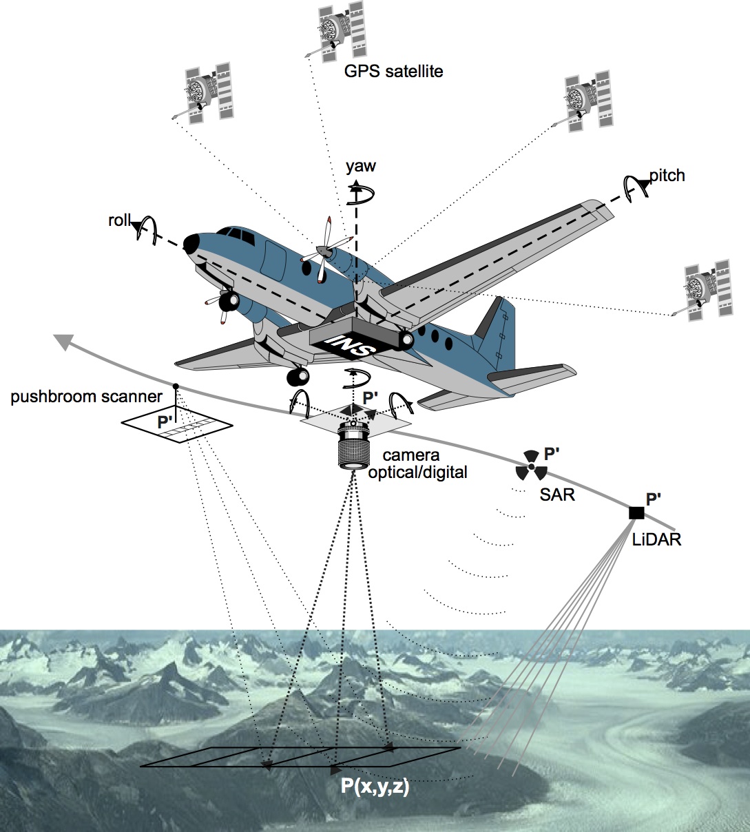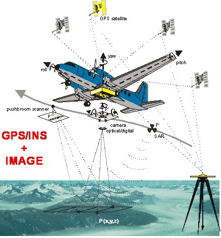
Objectives:
 |
|
Structure:
- weekly lectures
- weekly labs - practical (data acquisition), programming (algorithms implementation), analysis
- continuous control ( 3 tests )
- Professor: Jan Skaloud
- Teacher: Axel Béguelin
- Teacher: Aurélien Arnaud Brun
- Teacher: Kenneth Joseph Paul
- Teacher: Jesse Ray Murray Lahaye
